Portugal N2 Cycle Route Map: A Cyclist’s Guide to the N2
Look at the N2 on a map and the idea seems beautifully simple.
Start at KM 0 in Chaves, point your bike south and keep riding until you reach KM 738 in Faro.
One road. One country. North to south.
And perhaps that’s part of the reason Portugal’s Estrada Nacional 2 has become such an appealing challenge for cyclists.
But after riding the N2 and helping other cyclists experience it, I’ve learned that the line you see on a map tells only a small part of the story.
The N2 is 738 km of constantly changing Portugal. Mountains and vineyards give way to forests and river valleys, which eventually open into the huge landscapes of the Alentejo before the final journey through the hills towards the Algarve.
If you’re thinking about cycling it, here’s what that line on the map actually means when you’re sitting on a bicycle.
Where Does the Portugal N2 Cycle Route Start and Finish?
The N2 runs through the heart of Portugal from Chaves in the north to Faro in the south.
For cyclists taking on the complete route, the adventure traditionally begins beside the famous KM 0 marker in Chaves.
From there, the objective is straightforward:
Keep heading south until KM 738 in Faro.
Standing beside KM 0 with a fully loaded GPS, fresh legs and several hundred kilometres of Portugal ahead of you is a great feeling.
Standing beside KM 738 several days later is even better.
Between those two markers, though, there is an awful lot of Portugal to ride.
What Does the N2 Cycle Route Look Like on a Map?
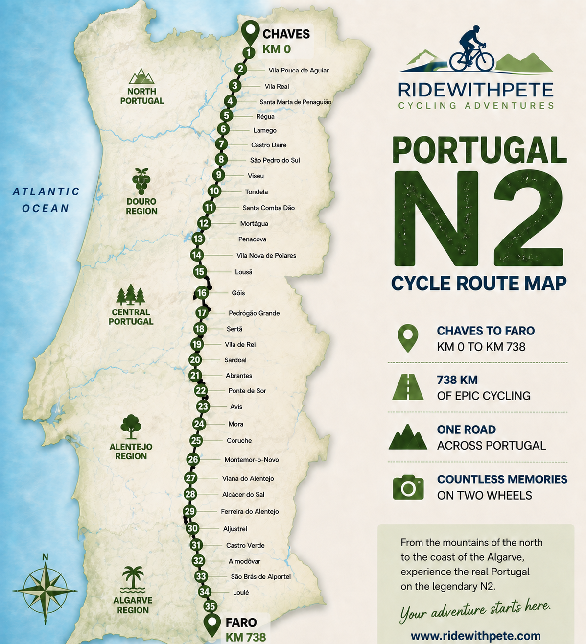
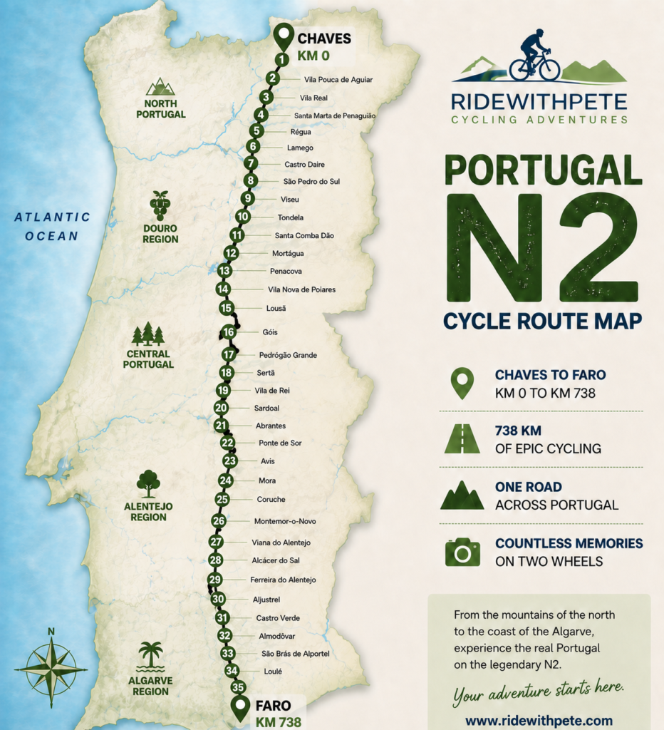
The N2 is unusual because rather than following Portugal’s Atlantic coastline, it travels largely through the interior of the country.
From Chaves it heads south through northern Portugal, crosses the Douro region and continues through the centre of the country.
Eventually the scenery begins to open as you reach the Alentejo.
Continue south and the route finally enters the Algarve before reaching Faro.
On a map, therefore, the N2 almost looks like a spine running through Portugal.
For cyclists, that makes it particularly special.
You’re not simply riding a long road.
You’re watching an entire country change around you.
The N2 Is 738 km – But Don’t Plan It by Distance Alone
This is probably the most important piece of advice I can give anyone looking at an N2 cycling map.
Do not simply divide 738 km by the number of days you have available.
It looks logical.
If you’re planning seven days, for example, you might be tempted to divide the route into seven roughly equal chunks and start booking accommodation around those points.
That’s not how I would plan it.
A 100 km day on one part of the N2 can feel completely different from 100 km somewhere else.
Elevation matters.
The location of suitable accommodation matters.
Food and water opportunities matter.
The type of roads you’re riding matters.
The previous day’s effort matters.
And, importantly, you need to think about what the following day has waiting for you.
A good N2 itinerary isn’t simply about making the numbers look tidy on a spreadsheet.
It’s about creating a route that works when you’re actually riding it.
Northern Portugal: Where the Adventure Begins
Leaving Chaves, it doesn’t take long before you realise that Portugal isn’t going to give you 738 easy kilometres.
The north is green, dramatic and often hilly.
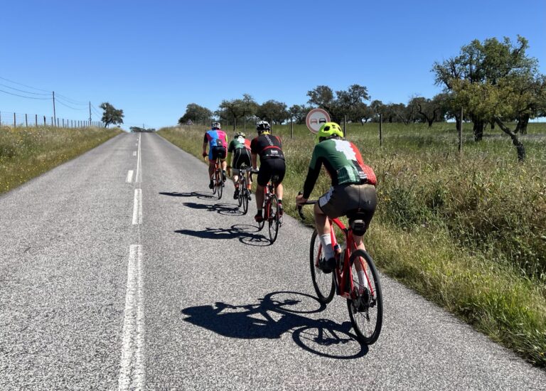
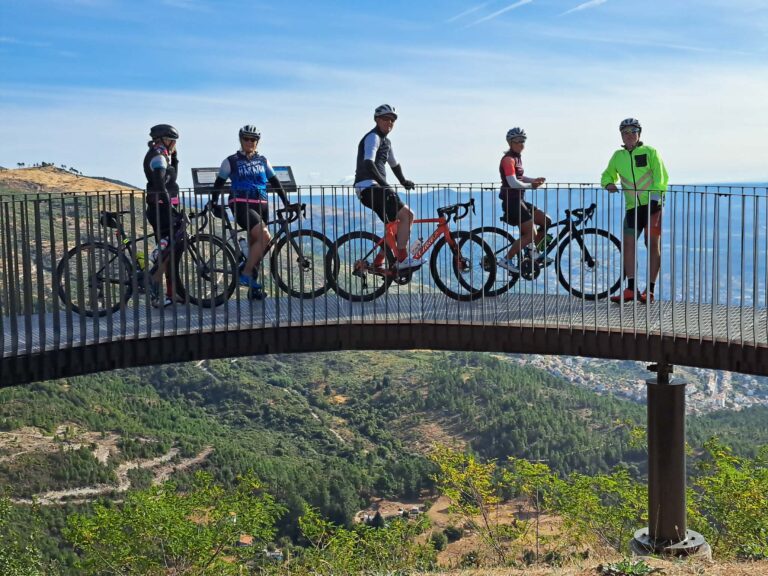
There are long views, wonderful descents and sections where you can settle into a rhythm and simply enjoy riding.
There is also climbing.
Plenty of it.
The Douro region provides some of the most memorable scenery of the entire journey. Vineyards cover the hillsides and the landscape can be spectacular.
But cyclists shouldn’t allow the scenery to disguise the terrain.
Those contours you see on the map become very real when you’re pedalling through them.
One of the keys to riding the N2 successfully is resisting the temptation to go too hard during the opening part of the journey.
You’ve got a long way to go.
Central Portugal: The N2 Keeps Changing
As you continue south, the character of the ride changes again.
There are forests, rivers, small Portuguese towns and long sections of countryside where the N2 can feel wonderfully removed from the busy tourist areas most visitors associate with Portugal.
There are still climbs.
There are also some fantastic descents.
This is one of the reasons I enjoy the N2 so much. You never really feel as though you’re cycling through the same landscape day after day.
But central Portugal also demonstrates why planning purely from a road map can be misleading.
A place that appears to be a convenient stopping point isn’t necessarily where you want to finish a day’s cycling.
Likewise, extending a day slightly can sometimes make the following day considerably more enjoyable.
Those decisions become important when you’re stringing together multiple consecutive days in the saddle.
Crossing the Halfway Point
There is something psychologically satisfying about reaching the halfway point of the N2.
By now the excitement of leaving Chaves has been replaced by something different.
You’re properly into the journey.
Your legs know what you’re doing.
You’ve developed a daily routine.
And Faro no longer seems impossibly far away.
It’s also around this broader part of the journey that you begin to appreciate just how varied Portugal is.
You’ve already ridden through landscapes that feel completely different from one another, and there’s still another half of the country waiting.
Into the Alentejo
Eventually, Portugal starts to open up.
The Alentejo feels very different from the north.
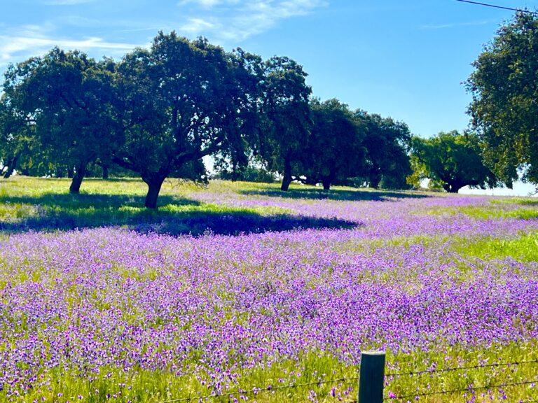
Huge skies, open countryside, cork oaks, long roads and small towns become part of the experience.
For many cyclists, this is the image they had in their head when they imagined riding across Portugal.
But there’s another factor to consider here:
heat.
Depending on when you ride the N2, the Alentejo can become extremely hot.
There can be long exposed sections with little shade, which makes water and sensible timing increasingly important.
This is one reason choosing the right time of year for an N2 ride matters so much.
Spring and autumn can provide fantastic cycling conditions. The middle of summer is a very different proposition.
The Final Push Towards the Algarve
Seeing the Algarve getting closer on your GPS doesn’t mean the work is finished.
There is still riding to do before Faro.
The landscape changes once again as you approach southern Portugal, and eventually you reach that wonderful moment when most of the journey is behind you.
The final kilometres feel different.
You start counting them down.
Then suddenly you’re riding into Faro and looking for the marker you’ve been thinking about since leaving Chaves.
KM 738.
Get the photograph.
You’ve earned it.
How Many Days Do You Need to Cycle the N2?
There’s no single correct answer.
Some cyclists treat the N2 as an endurance challenge and complete it very quickly.
Others take considerably longer, adding rest days and spending more time exploring towns along the way.
For a cycling holiday rather than a race, I think seven riding days provides a fantastic challenge for a reasonably fit and experienced cyclist.
But there’s an important distinction between:
cycling the N2 in seven days
and
planning a good seven-day N2 itinerary.
The first is simple mathematics.
The second requires considerably more thought.
We’ve ridden and refined our approach around how the days actually feel on a bicycle, rather than simply dividing the route into equal distances.
That’s information I deliberately don’t publish in full online.
It’s part of what our guided and self-guided N2 options are designed to provide.
Do You Need GPX Files to Cycle the N2?
Technically, you could set off from Chaves and navigate using road signs and maps.
I wouldn’t recommend relying on that alone.
A properly prepared GPX route loaded onto your cycling computer or navigation device makes the journey considerably easier.
It allows you to concentrate on riding rather than continually wondering whether you’ve missed a turn.
But there’s an important difference between downloading a line that broadly follows the N2 and having a route that has actually been prepared as part of a complete cycling itinerary.
Where does today’s ride finish?
What does the elevation profile look like?
Where are the sensible places to stop?
Where will you sleep?
Where can you eat?
What happens if somewhere is closed?
How does today’s stage set you up for tomorrow?
Those are the questions that turn a GPX file into a cycling trip.
Can You Plan the N2 Yourself?
Absolutely.
For some people, planning is half the fun.
You can research the route, build GPX files, investigate accommodation, work out daily distances and climbing, research places to stop and organise the logistics yourself.
If you enjoy doing that, the N2 is a fantastic project.
But not everyone wants to spend weeks researching a cycling holiday.
That’s why I’ve created two different ways to ride the N2 with RideWithPete.
Ride the N2 With Me
Our guided N2 cycling tour is for riders who want to experience the journey without having to build the trip themselves.
The route planning is done.
The stages are planned.
The logistics are organised.
You can concentrate on what you came to Portugal to do:
ride your bike.
Ride It Yourself With Our N2 Adventure Pack
If you’d rather cycle independently, our N2 Self-Guided Adventure Pack gives you the detailed information that I deliberately haven’t published in this article.
That includes our actual day-by-day route planning, seven GPX files, seven elevation profiles, accommodation recommendations and the practical local information we’ve developed from riding the route ourselves.
You still get the freedom of a self-guided adventure.
You just don’t have to start the planning from a blank map.
Start With the Map – Then Build the Adventure
The Portugal N2 cycle route map is what first captures many people’s imagination.
A road running through an entire country.
Chaves.
Faro.
738 km.
But the map isn’t the adventure.
The early excitement at KM 0 is.
The climbing is.
The descents are.
The coffee stops are.
The changing landscapes are.
The tired legs are.
And eventually, so is that photograph beside KM 738 in Faro.
If you’re only beginning to research the journey, have a look through our other N2 cycling guides to learn about the difficulty, the best time of year to ride and what you should expect from seven days on the road.
And when you’re ready to turn the line on the map into an actual ride, you can either join RideWithPete on a guided N2 cycling adventure or use our Self-Guided N2 Adventure Pack to ride it your own way.
Either way, it begins in exactly the same place.
KM 0, Chaves.
See you at KM 738.