Portugal N2 GPX Files: Cycling the N2 With GPS
If you’re looking for Portugal N2 cycle route GPX files, reliable navigation is an essential part of planning your ride from Chaves to Faro.
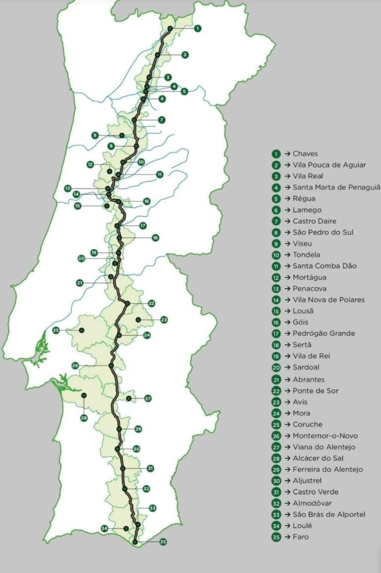
The N2 covers 738 km from KM 0 in Chaves to KM 738 in Faro, and although much of the road is well signposted, I wouldn’t recommend relying on road signs alone for a multi-day cycling trip.
A GPS route means less time wondering where you’re going and more time enjoying the ride.
Can You Download a GPX File for the Portugal N2?
Yes. Various versions of the N2 can be found online, and it’s also possible to create your own route using platforms such as Strava, Komoot or Garmin.
But there’s an important distinction between:
a GPX line following the N2
and
GPX files designed around an actual multi-day cycling itinerary.
If all you want is to follow the road from Chaves to Faro, creating a route isn’t particularly difficult.
The harder part is deciding how to turn those 738 km into sensible days on the bike.
Why We Use Separate Daily GPX Files
For our own N2 rides, we divide the journey into seven individual GPX routes rather than one enormous file.
There’s a practical reason for this.
Each morning you load that day’s route and know exactly what you’re riding.
You’re not looking at hundreds of kilometres of remaining route on your device, and each GPX file forms part of a planned day’s cycling.
The important bit isn’t simply where the N2 goes.
It’s where each day’s ride should begin and finish.
That’s where experience of the route becomes valuable.
Don’t Divide 738 km Into Seven Equal Days
We mentioned this in our Portugal N2 Cycle Route Map guide, but it’s particularly relevant when creating GPX files.
Dividing 738 by seven and creating seven equal-distance routes might look neat.
It doesn’t necessarily create seven good cycling days.
Climbing varies enormously.
Some sections are considerably tougher than others. Accommodation and places to eat or refill water aren’t evenly distributed either.
And after several consecutive days of cycling, tomorrow’s terrain matters just as much as today’s distance.
Our seven routes have therefore been developed around how the N2 actually rides, rather than making every GPX file approximately the same length.
What Device Can I Use?
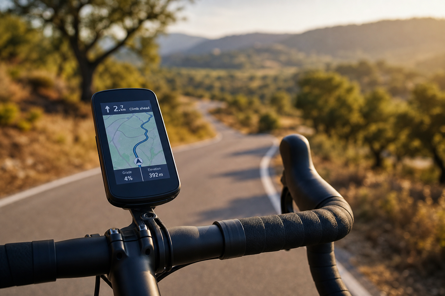
Standard GPX files can be used with most popular cycling navigation systems.
That includes devices from Garmin, Wahoo and many other GPS cycling computers, as well as compatible smartphone navigation apps.
Whatever device you use, I strongly recommend loading and checking your route before leaving each morning.
Don’t wait until you’re standing beside your bike ready to leave to discover that yesterday’s file transferred perfectly but today’s didn’t!
Should I Still Carry a Backup?
Yes.
Even when using a cycling computer, having the route available on your phone provides a useful backup.
Devices can fail.
Batteries can run flat.
And occasionally it’s simply easier to take your phone out and look at a larger map.
I also recommend carrying a small power bank on long cycling trips.
Navigation is one thing you don’t want to lose halfway through a day.
Where Can I Get Portugal N2 Cycle Route GPX Files?
This is where I’m going to be slightly protective of our work.
We’ve spent years riding the N2 and refining how we tackle it.
So while I’m happy to provide plenty of free information about cycling the N2 on this website, I don’t publish our actual seven GPX routes for free.
They’re part of our N2 Self-Guided Adventure Pack.
The pack includes:
- 7 individual GPX route files
- 7 elevation profiles
- Our planned daily stages
- Accommodation recommendations
- Food and refreshment suggestions
- Practical route information
- Knowledge gathered from actually riding the N2
It’s designed for cyclists who want the independence of riding the N2 themselves without spending hours building the entire trip from scratch.
If you’d rather have the logistics handled for you as well, you can instead join one of our guided N2 cycling adventures.
GPX Files Are Only Part of the Journey
A reliable GPX route removes one major concern:
Where am I going?
But a great N2 trip also answers:
Where am I sleeping tonight?
How difficult is today’s ride?
Where can I stop?
What should I expect tomorrow?
That’s why our self-guided option is a route pack rather than simply a GPX download.
You still ride independently.
We’ve simply done much of the planning before you reach KM 0 in Chaves.
Then all that’s left is to follow the route south.
Next stop: KM 738, Faro.